Granite Project
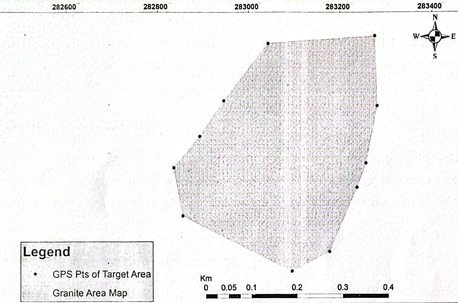
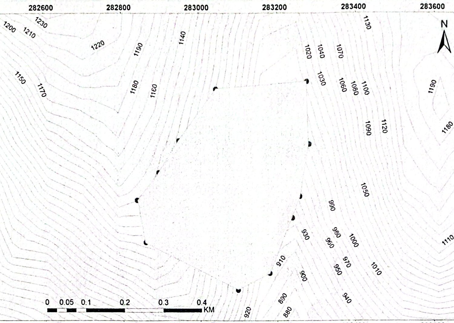
Granite cutting and drilling program on a 20K sq m licensed area.
 Field photograph · BlackRock
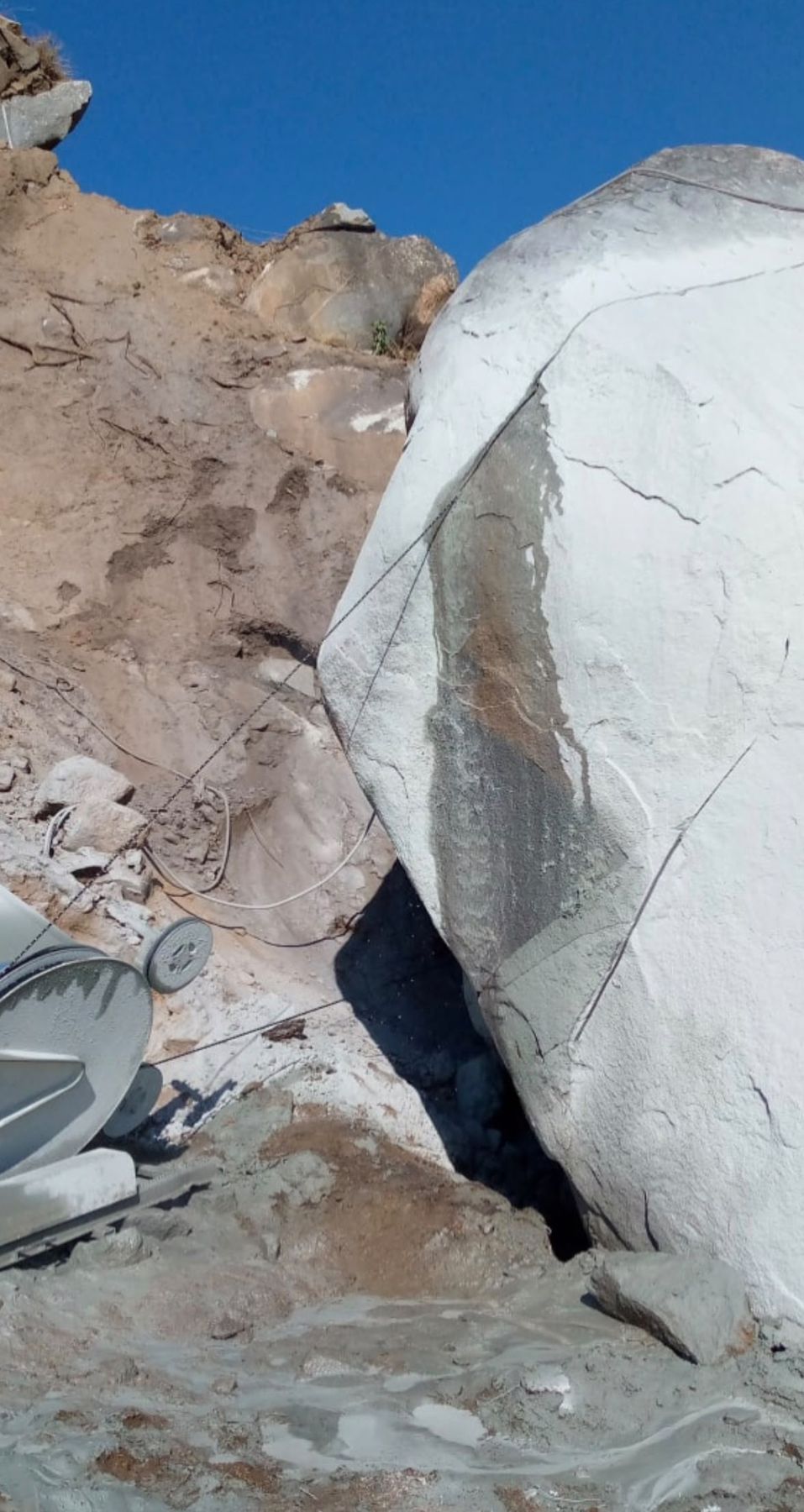
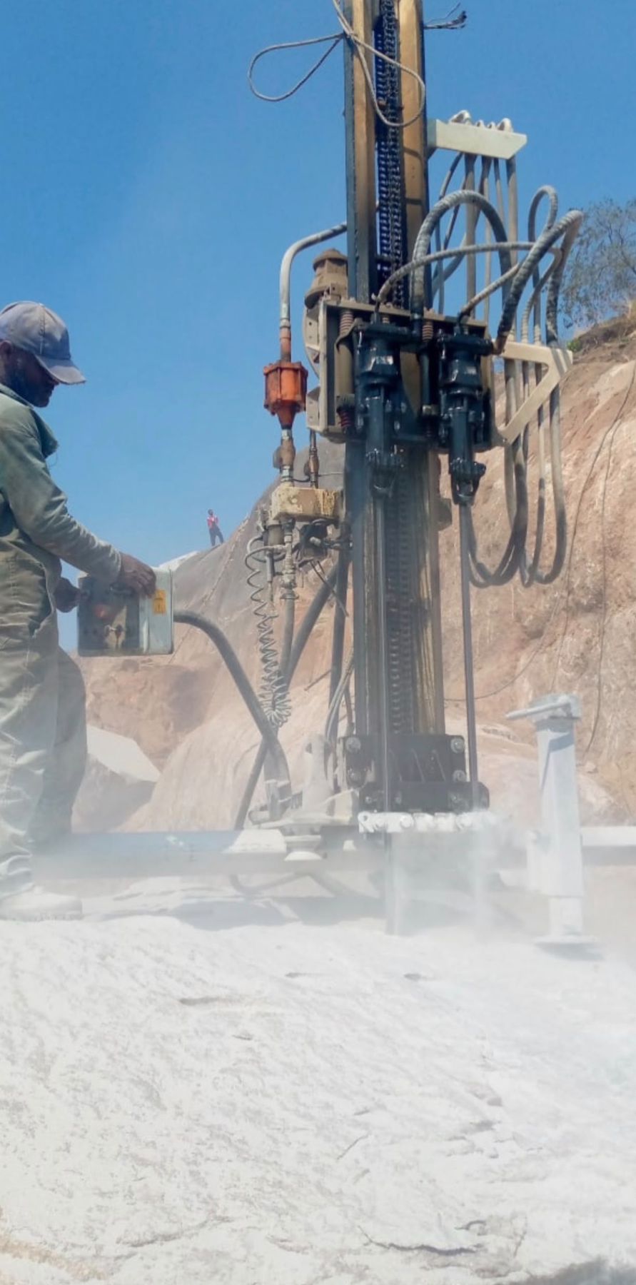
Granite is part of BlackRock’s current portfolio, with a granite cutting and drilling program underway in the field.
The project is located at the locality known as Legegila, an area that has been sporadically explored by the government for a number of years.
The area shows very thick granite exposures. The eastern parts of the licence area have no overburden soil, while other parts are covered by a thin layer of residual soil. Surface joints are shallow, very widely spaced (more than 2 m apart) and tight, and granite boulders at the surface range from 2 m to 3 m in diameter. The mountain chain at the centre of the hill section shows the presence of a massive granite deposit.
The exploration program includes aerial photograph interpretation, preparation of base and working maps, careful geological mapping, sample testing, sampling and inspection of economic blocks within the granite dimension-stone zone.